Preparation
01 · Define the purpose and scope
02 · Convene diverse participants
03 · Decide on the mapping medium
04 · Prepare reference materials
05 · Define symbols or legend
Step-by-step instructions
1
Introduction and context-setting (15-30 min)
- The facilitator explains the purpose of the mapping, how the results will be used, and what kind of information is being sought.
- It is established that participants' knowledge is the most valuable resource in the process — there are no right or wrong answers.
2
Creating the base map (20-30 min)
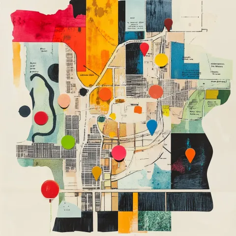
- The group identifies the territory's boundaries, known landmarks, and main geographical features (rivers, roads, mountains, buildings).
- This can begin from a printed map or satellite image, or from scratch by drawing the territory from collective memory.
3
Thematic mapping in groups (45-90 min)
- Thematic groups can be formed (natural resources, infrastructure, risks, culture) that map their area of knowledge and then integrate their results.
- Alternatively, the full group works together on the map, with people of different ages and roles contributing their specific knowledge.
- Encourage participants to tell stories about the places they map — these narratives are as important as the map itself.
4
Collective map validation (30-45 min)
- The group reviews the complete map, fills in missing information, and verifies the accuracy of what is represented.
- Discrepancies are discussed and resolved through dialogue, incorporating multiple perspectives.
5
Analysis and interpretation (30-60 min)
- The group reflects on what the map reveals: What patterns emerge? Where are the areas of risk or deprivation? What resources are not known by everyone? What changes have occurred over time?
- This analysis converts the map into a diagnosis and planning instrument.
6
Feedback and next steps (15-20 min)
- Agreements are made on how the map will be documented, disseminated, and used.
- Next steps are defined: Will it be presented to authorities? Will it serve as the basis for a management plan? Will it be integrated into a digital platform?
Materials
Large kraft paper, transparent plastic, or plotter paper
Colored markers (multiple colors for different categories)
Printed satellite images or aerial photographs of the area
Adhesive tape, scissors, colored stickers
Alternative materials for ground mapping (stones, sticks, sand)
Camera or device for documenting the process and final map
Digital tools
Practical tips
- Include territorial knowledge holders: Elders, hunters, farmers, and women who traverse the territory daily often possess knowledge that appears in no technical map. Their participation is irreplaceable.
- The process matters as much as the product: Participatory mapping is not only about producing a map — it is a process of dialogue, knowledge exchange, and collective vision-building. Allow time for the conversations that emerge during the mapping.
- Address ownership of the map: Define from the outset who owns the map and who decides how it is used. This is especially critical in contexts of territorial conflict, where the information may have political and legal implications.
- Complement with territorial walks: Whenever possible, complement in-room mapping with walks through the territory, verifying in situ what has been mapped and gathering additional information from local knowledge holders.
- Digitize to broaden reach: Once the participatory map is produced, consider digitizing it on platforms like Google Maps, OpenStreetMap, or geographic information systems (GIS) to facilitate its use in negotiations and public policy processes.
Inspiration
- Amazonian indigenous communities that conduct participatory mappings of their ancestral territories to document their land use rights, identify extraction threats, and present evidence before international human rights bodies.
- Municipalities that implement participatory risk mapping with communities in areas vulnerable to flooding or landslides, incorporating local knowledge into their disaster prevention and management plans.
- Urban organizations that use social cartography with youth from low-income neighborhoods to map spaces of insecurity, cultural resources, and infrastructure needs — informing citizen demands before local governments.
- Researchers and academics that combine participatory mapping with GIS methods to produce territorial knowledge integrating scientific expertise with traditional and community knowledge in land-use planning processes.