Preparation
- Establish what you want participants to discover (local history, community services, cultural heritage, natural resources, etc.).
- Delimit the geographic area of the hunt (neighborhood, historic center, campus, park, etc.).
- Identify between 6 and 12 points of interest or key stations.
- Create a logical route with points connected by creative clues.
- Design riddles, QR codes, old photographs, GPS coordinates, interviews with neighbors, etc.
- Ensure that clues require observation, research, and collaboration.
- Prepare challenges at each station (questions, specific photos, creative tasks, conversations with people).
- Print maps of the area, route sheets, and clue cards.
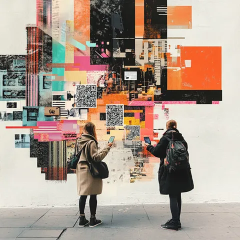
- Create QR codes linking to additional information or the next clue.
- Coordinate with shops, institutions, or neighbors if clues involve their spaces.
- Prepare small prizes or participation certificates.
- Verify that all routes are safe and accessible.
- Set schedules that avoid dangerous hours.
- Provide emergency contact numbers and facilitators available throughout the territory.
- Consider insurance or permits depending on the context.
Step-by-step instructions
Introduction and preparation
- Present the purpose of the hunt: getting to know the territory, discovering stories, identifying resources.
- Explain the rules: geographic boundaries, available time, respectful behavior in public spaces.
- Form teams of 4–6 people with a diversity of skills.
- Distribute materials: map, first clue, registration sheet, camera or phone.
Start of exploration
- Each team heads to its first station following the clues.
- Teams can all start from the same point or from different stations (rotation).
- Set a return deadline and a final meeting point.
The hunt in progress
- Teams decode clues, navigate the territory, and complete challenges at each station.
- They interact with the environment: read plaques, observe architecture, converse with neighbors.
- They document their journey with photos, videos, interviews, and drawings.
- They solve riddles that lead them to the next point.
Closing and return
- All teams return to the meeting point at the agreed time.
- Verify that everyone has returned safely.
Sharing findings and reflection
- Each team shares what they discovered, what surprised them, and what they learned about the territory.
- They present photographic evidence or collected materials.
- Reflect on the importance of knowing and valuing the local environment.
- A collective map with all findings or a photo exhibition can be created.
- Recognition or symbolic prizes are awarded.
Materials
Platforms
For virtual sessions or collaborative documentation.
Practical recommendations
Do a full test run beforehand to verify that all clues work and that locations are accessible.
Adapt the difficulty of the clues to the participants' profile: children, youth, adults, or older adults.
Include a variety of challenges: some physical, some intellectual, some social (talking with neighbors).
Incorporate technology in a balanced way: QR codes and geolocation apps, but also analog clues.
Encourage respectful interaction with neighbors and shopkeepers; some clues may require speaking with them.
Consider the route's accessibility for people with reduced mobility; offer alternative routes if necessary.
Establish a communication system between facilitators and teams via WhatsApp or radio.
Document the entire process with photos and videos to create a collective memory of the experience.
Connect findings with future actions: community projects, urban improvement campaigns, local activism.
Consider running the hunt in different seasons to observe how the territory changes over time.
Inspiration
- Historical heritage: Search for landmark buildings, commemorative plaques, monuments, and sites of historical memory.
- Community resources: Identify health centers, libraries, green spaces, community kitchens, and cultural centers.
- Urban biodiversity: Find different tree species, birds, community gardens, and urban farming spaces.
- Urban art: Discover murals, artistic graffiti, public sculptures, and temporary installations.
- Local commerce: Get to know historic family businesses, traditional markets, and neighborhood artisans.
- Oral memory: Interview long-time residents to collect stories, anecdotes, and accounts of how the territory has changed.
- Photographic hunt: Teams must replicate historical photos from the same angle to document urban changes.
- Gastronomic rally: Clues lead to discovering traditional dishes, family recipes, and local ingredients.
- Sound hunt: Record characteristic sounds of the territory (bells, street vendors, birds, workshops).
- Nighttime hunt: Exploration at dusk or night to discover how neighborhood life changes (with appropriate safety measures).
- Community geocaching: Hide physical "treasures" (capsules with messages, symbolic objects) for other groups to find.
- Intergenerational hunt: Mixed teams of young people and older adults who share historical perspectives.
- Education: Learning local history, urban geography, civic education, and urban biology.
- Urban planning: Participatory diagnosis of needs, identification of territorial problems and potentials.
- Community tourism: Design of alternative tourist routes managed by the community.
- Social activism: Mapping spatial injustices and identifying areas that need intervention.
- Integration of new residents: Helping newcomers discover key services and spaces in their new neighborhood.
- Identity building: Reconnecting inhabitants with the history and culture of their territory.
- A collective illustrated map with findings and learnings from all teams.
- A community photo exhibition showcasing the territory from new perspectives.
- An alternative travel guide created collaboratively.
- A digital oral archive with interviews of neighbors.
- Urban improvement proposals based on observations from the route.
- A campaign to promote local heritage through social media.